
- Area: 2,038.57 sq km.
- Boundaries:
- North: Bhutan
- East: Tamulpur
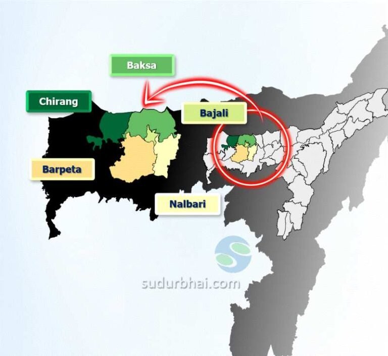
- South: Nalbari , Bajali and Barpeta
- West: Chirang
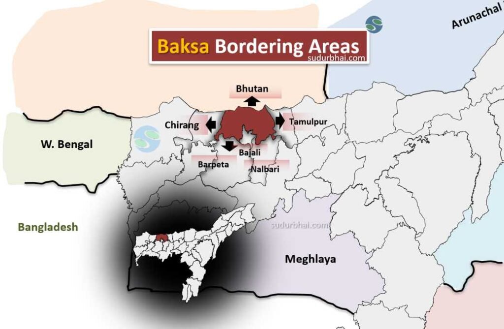
Baksa Bordering districts
- Topography: Predominantly hilly, with a mix of plains and hills.
- A portion of Manas National Park falls here.
- Climate:
- Summer: Hot and humid with average temperatures ranging from 25°C to 35°C.
- Monsoon: Heavy rainfall from June to September.
- Winter: Cool and foggy, temperatures range from 5°C to 20°C.
- Rainfall : Approximately 2500 mm (average).
- Rivers:
- Manas River (along the western boundary).
- Pagladia (along the eastern boundary)
- Other smaller rivers like the Beki, kaladia, Puthimari, Tihu, pohumara and Buradia etc.

where is Jalah dev block and rev circle?