- Area: Approximately 568 square kilometers.
- Coordinates: Around 25°55′ N latitude and 90°01′ E longitude.
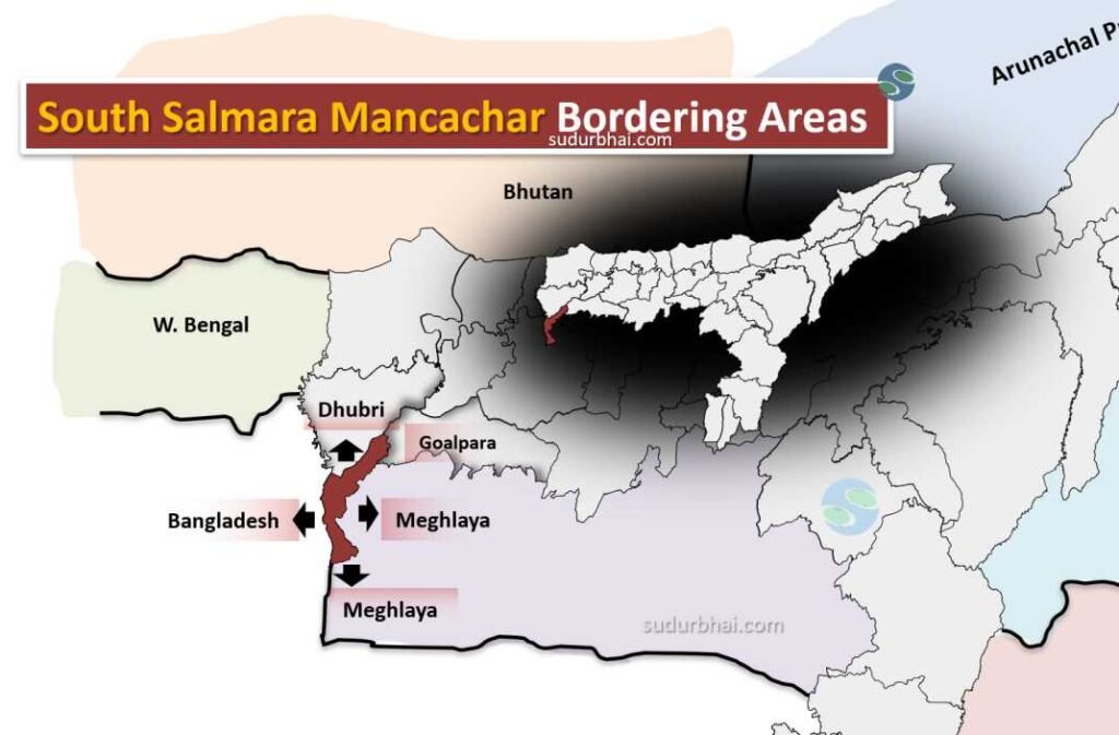
- Boundaries:
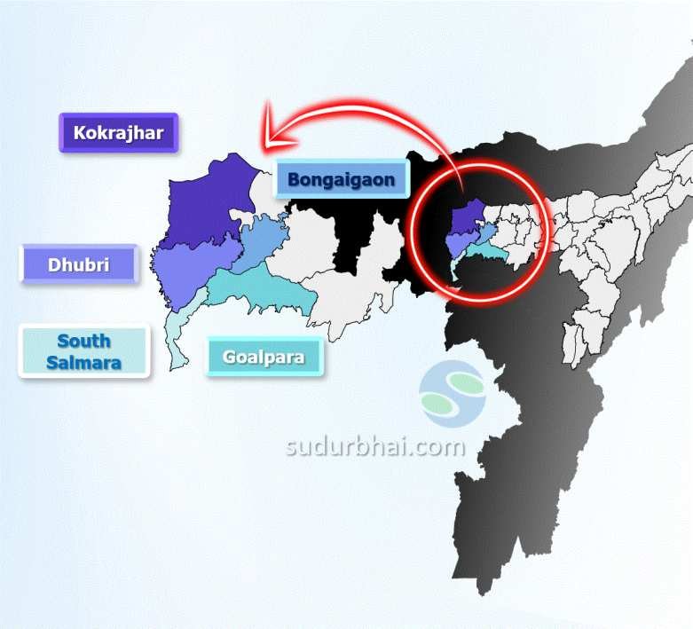
- North: Dhubri district.
- South: Bangladesh.
- East: Goalpara , Meghalaya.
- West: Bangladesh.
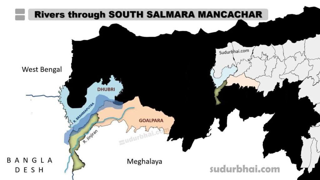
South Salmara Mancachar
- Topography: Mostly flat plains with a few small hillocks like Bansali and Rangatari in the southwest.
- Climate: Humid subtropical, with annual rainfall around 3,000 mm. Most rainfall happens during the monsoon season (May to September).
- Rivers: Important rivers include the Brahmaputra(northern border), Jinjiram.