
- Area: Covers about 1,551 square kilometers.
- Coordinates: Approximately 26°03′ N to 26°30′ N latitude and 91°58′ E to 92°34′ E longitude.
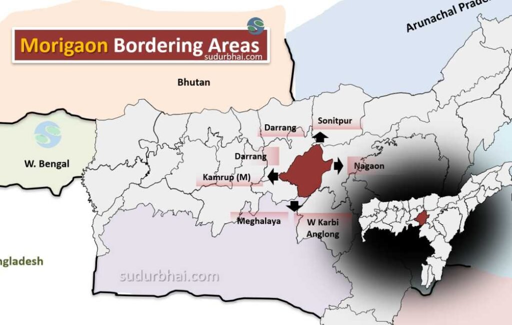
- Boundaries:
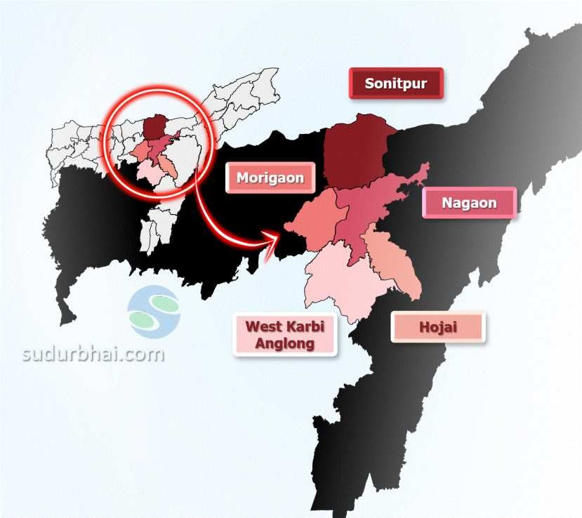
- North: Darrang , Sonitpur.
- South: Meghalaya , West Karbi Anglong.
- East: Nagaon district.
- West: Darrang , Kamrup Metro district.
- Topography: Mostly alluvial plains, with fertile soil for agriculture. The district has numerous rivers and wetlands.
- Climate: Humid subtropical climate with 1,500 mm to 2,600 mm of rainfall annually, mostly during the monsoon months from June to September.
- Rivers: Brahmaputra (Northern Border), Kopili, Kollong, Sonai , Pakaria and Killing.
