
- Area: 3,502 square kilometers (1,352 square miles).
- Boundaries:
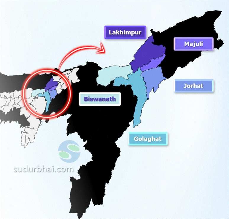
- North: Biswanath and Lakhimpur district.
- South: Nagaland.
- East: Jorhat district.
- West: Karbi Anglong and Nagaon districts.
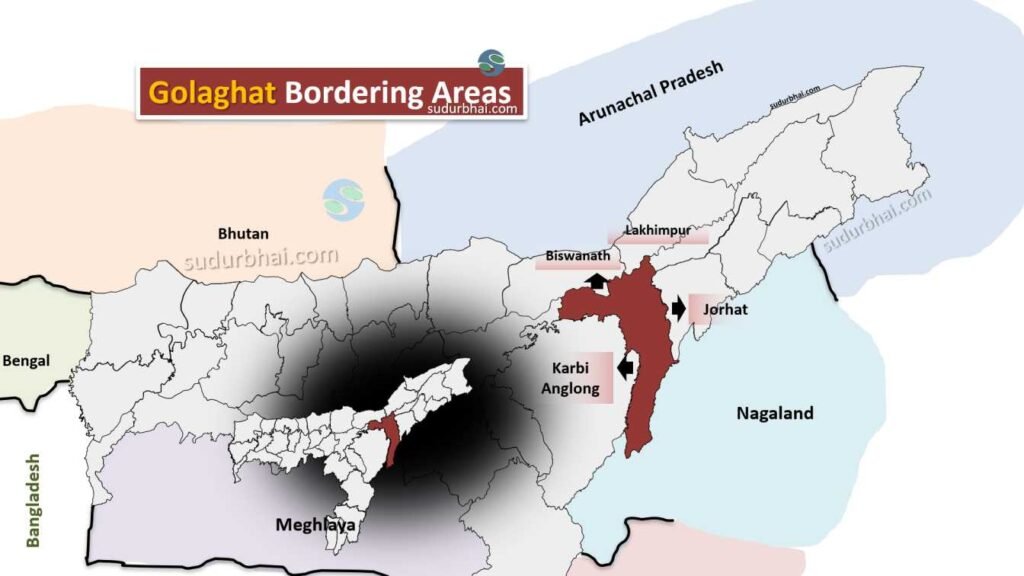
Golaghat neighbouring districts
- Topography: Mostly flat plains with some hilly areas. Fertile soil supports agriculture.
- Rivers flowing through Golaghat – Brahmaputra (making Northern borders), Dhansiri , Diphalu ,Rengma etc.
- Climate: Humid subtropical climate with annual rainfall ranging from 2,012 mm to 2,249.50 mm. Most rainfall occurs during the monsoon (June to September).