
- Area: 4,888 square kilometers (the third largest district in Assam).
- Topography: Mostly hilly, with the Borail Range being a key feature. The highest peak is Thumjang (1,866 meters).
- Borders :
- North : Karbi Anglong, W. Karbi Anglong and Hojai
- South : Cachar
- East : Nagaland and Manipur
- West : Meghalaya
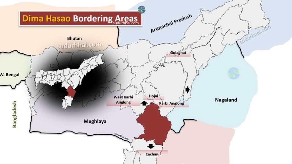
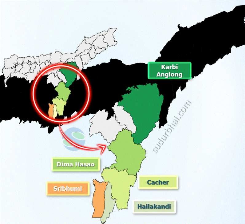
Dima Hasao neighbouring districts
- Rivers: Kapili, Siri, Jiri,Jatinga , Modhura.
- Climate: Pleasant climate with cool summers (20°C to 30°C) and mild winters (8°C to 25°C). Haflong, the district headquarters, has a comfortable altitude of 966 meters.