
- Area: 3,381 square kilometers.
- Boundaries:
- North: Dhemaji District.
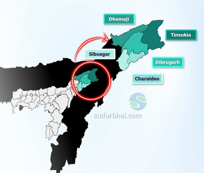
- South: Charaideo and Sibsagar district.
- East: Tinsukia district.
- West: Lakhimpur district.
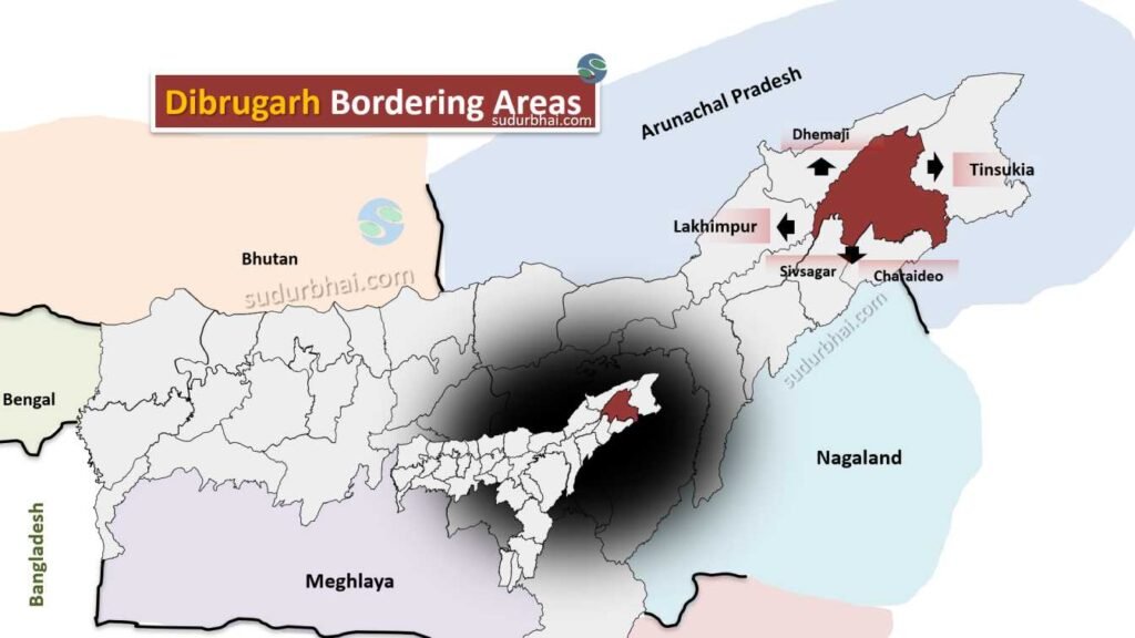
Dibrugarh neighbouring Districts
- Topography: A mix of flat plains and gentle hills, with the Brahmaputra River flowing along the southern boundary.
- Rivers: The Brahmaputra (avg. width here =10 km)and its tributaries (Lohit, Burhidihing) contribute to the district’s fertile soil.
- Climate: Humid subtropical with heavy monsoon rainfall. Temperatures range from 10°C in winter to 39°C in summer. Average annual rainfall is 2,518 mm.
- Avg. annual rainfall decreases from Dibrugarh(North) to Naharkatia (south)