- Area: Approximately 1,170 square kilometers.
- Topography: Predominantly plain, with some undulating areas.
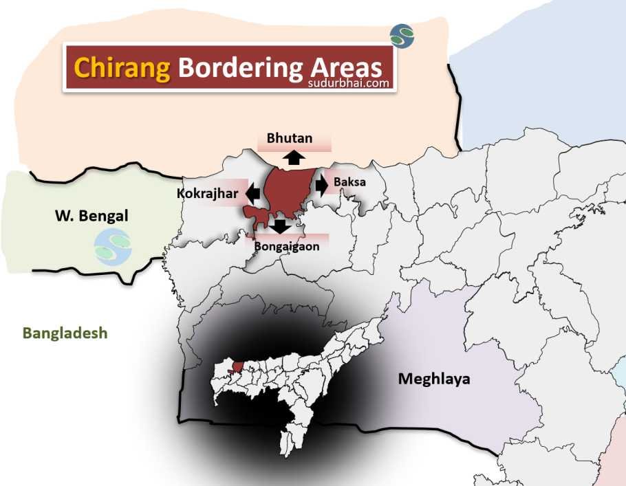
- Border:
- North : Bhutan.
- South : Bongaigaon
- East : Baksa
- West : Kokrajhar
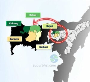
Chirang nearby Districts
- Climate: Subtropical, with warm and humid summers and dry, cool winters.
- Average Annual Rainfall: Ranges from 2,000 mm to 3,000 mm.
- Monsoon Season: Heavy rainfall from June to September, supporting agriculture.
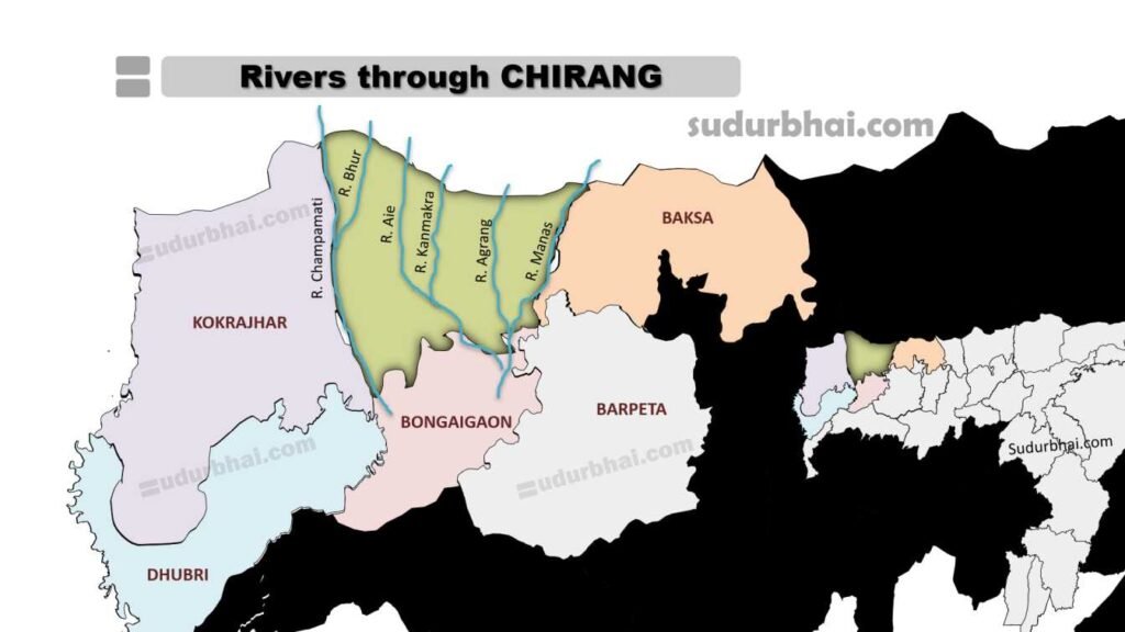
- Rivers: Includes Champawati, Aie, Agrang, Kanmakra and Manas rivers etc.